Detailed Unit Maps
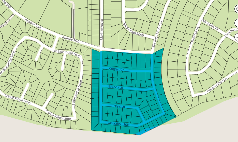
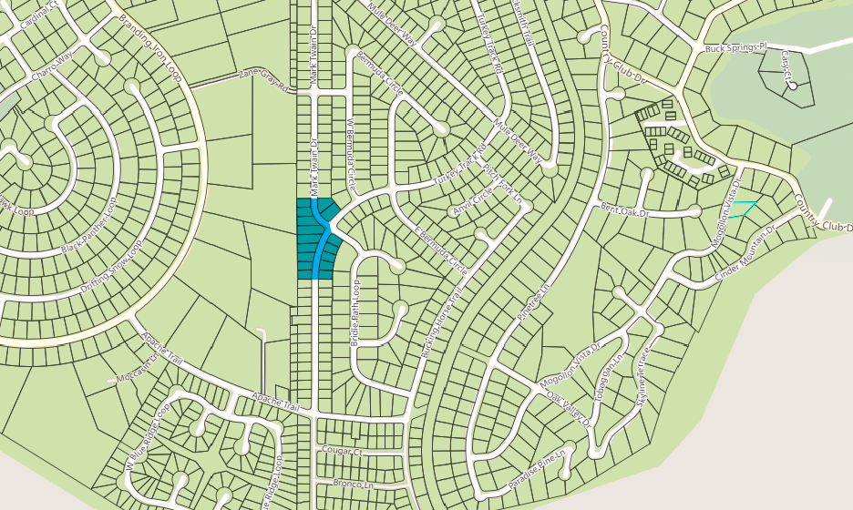
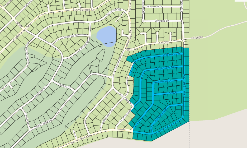
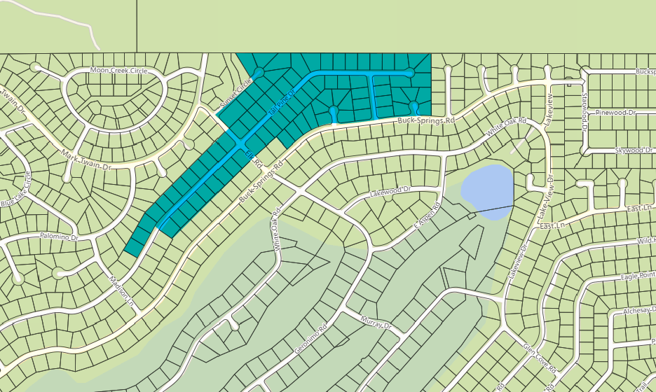
Detailed maps from the Navajo County Property Information System provide parcel specific details for property lines using the Tax Information Parcel number. To show all of the lots and be readable some Unit maps require more than one page.
NOTE: The outline around adjacent parcels indicates one owner for the enclosed area. The circled number in the center of a parcel is the lot number. A suffix letter is used to identify parcels for which the owner has changed the property description so as to include the larger parcel entity as a single street address.
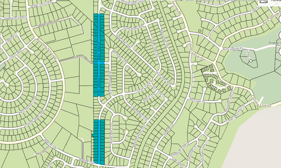
Property Information Map
Subdivision Name: Pinetop Country Club Mobile Homes Unit 2:
Parcel 411-53-LLL - Lots 001-125B;
Detailed Parcel Number Map - Unit 2 Lots 1-31, 97 - Download
Detailed Parcel Number Map - Unit 2 Lots 32-41 & 87-96 - Download
Detailed Parcel Number Map - Unit 2 Lots 51-78 - Download
Unit 2 Lot Number - Street Address -Parcel Tax ID List - Download
Property Information Map
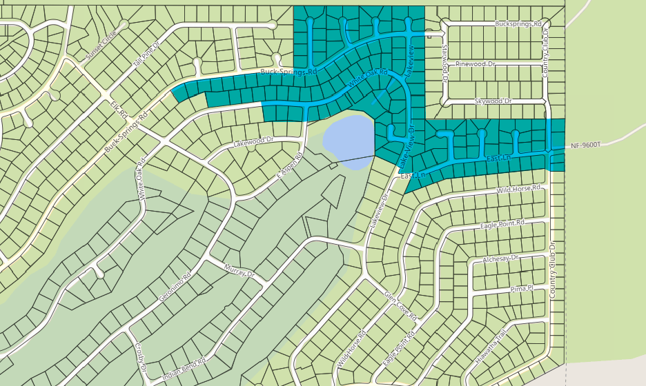
Subdivision Name: Pinetop Country Club Unit 4:
Parcel 411-54-LLL - Lots 1-139C;
Detailed Parcel Number Map - Unit 4 Lots 1-14 & 17-41 - Download
Detailed Parcel Number Map - Unit 4 Lots 15,16,42-49, 61-77,139A, 139B, 139C - Download
Detailed Parcel Number Map - Unit 4 Lots 50-60,89-106, 117-138 - Download
Detailed Parcel Number Map - Unit 4 Lots 78-116 - Download
Unit 4 Lot Number - Street Address -Parcel Tax ID List - Download
Location Map
Boundaries of each unit in the Pinetop Community Association (PCA) plus several points of interest (Fire Evacuation Road access (East Lane and Country Club Drive, Pinetop) to the forest and more).

